The Matterhorn, near the town of Zermatt in Switzerland, is also known as the Cervin (in French), and Cervino (in Italian).
It is one of the highest peaks in the Alps, with an altitude of 4,478m (14,690 ft). It marks the border between Switzerland and Italy, and so, possess two summits (one swiss with 4,477.5 m high, one italian with 4,476.4m high).
The pyramidal peak, is composed by for steep faces, split by four ridges: the Hörnli, Furggen, Leone and Zmutt.
The Theodul Pass, located at 3,295 metres, between the Matterhorn and the Breithorn, is the easiest passage between the valleys of Zermatt (CH) and Valtournanche (IT).
The Mattherhorn was formed millions of years ago, by the European tectonic plate going under the African’s one. Shaped by erosion, the top of the summit belongs to the African plate.
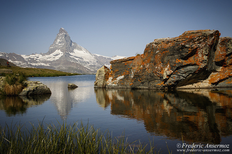
F13, 1/250 sec, 28 mm, ISO320, Canon EOS 7D Mark II
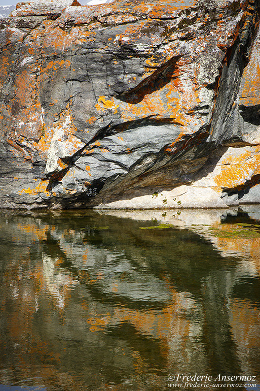
F13, 1/80 sec, 70 mm, ISO320, Canon EOS 7D Mark II
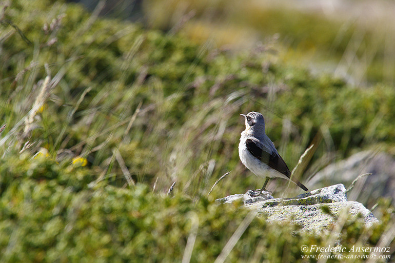
F11, 1/250 sec, 500 mm, ISO320, Canon EOS 7D Mark II
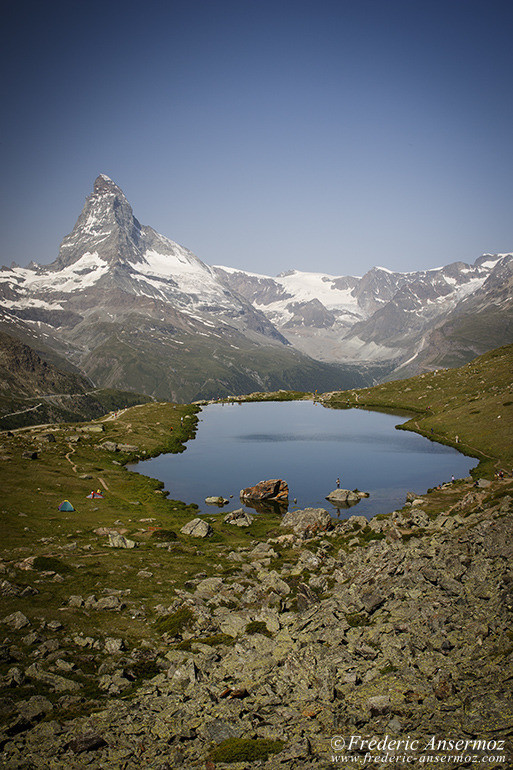
F8, 1/160 sec, 28 mm, ISO100, Canon EOS 7D Mark II
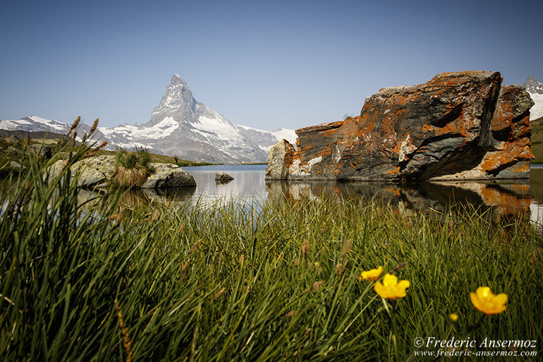
F16, 1/40 sec, 23 mm, ISO100, Canon EOS 7D Mark II
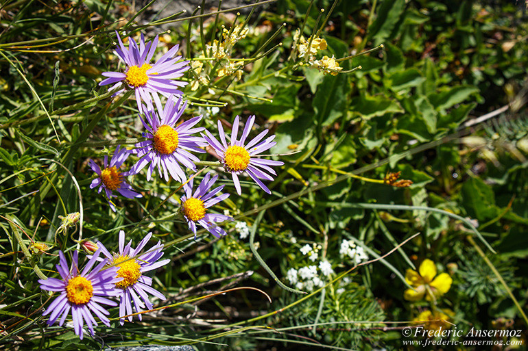
F8, 1/800 sec, 113 mm, ISO320, Canon EOS 7D Mark II
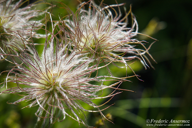
F8, 1/500 sec, 413 mm, ISO320, Canon EOS 7D Mark II
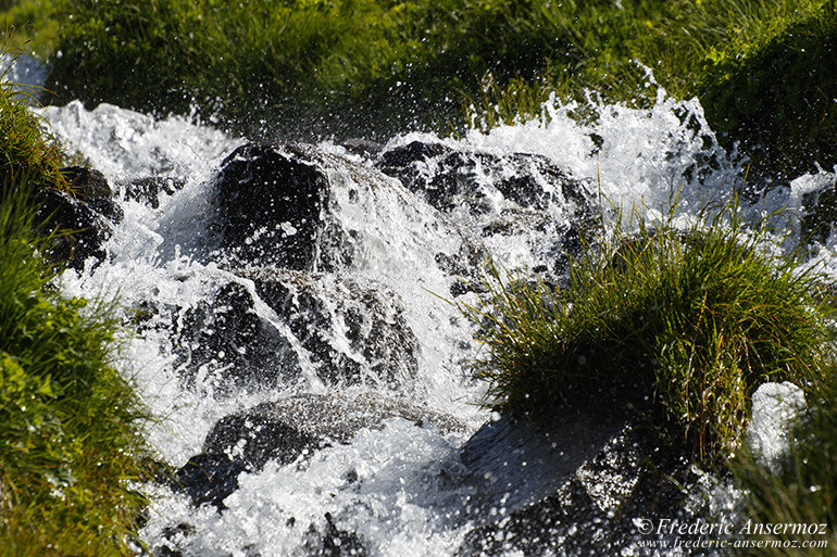
F8, 1/320 sec, 244 mm, ISO100, Canon EOS 7D Mark II
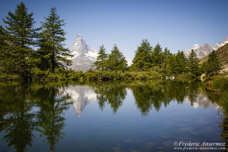
F11, 1/60 sec, 21 mm, ISO100, Canon EOS 7D Mark II
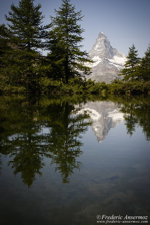
F13, 1/50 sec, 28 mm, ISO100, Canon EOS 7D Mark II
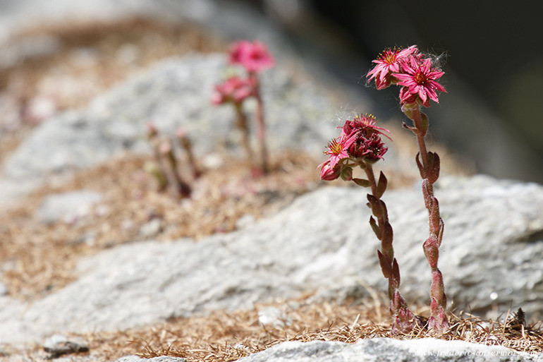
F8, 1/320 sec, 413 mm, ISO250, Canon EOS 7D Mark II
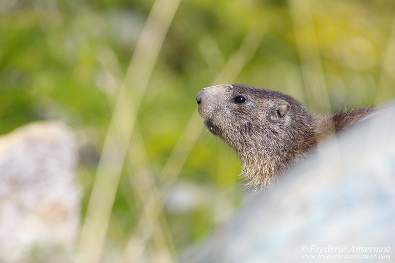
F8, 1/500 sec, 500 mm, ISO320, Canon EOS 7D Mark II
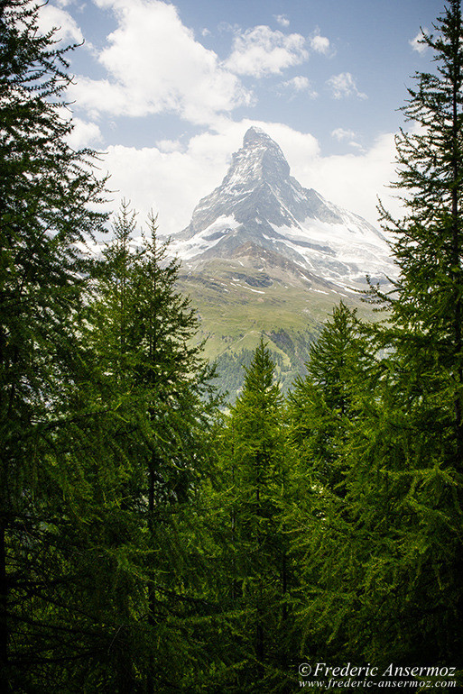
F11, 1/200 sec, 31 mm, ISO250, Canon EOS 7D Mark II
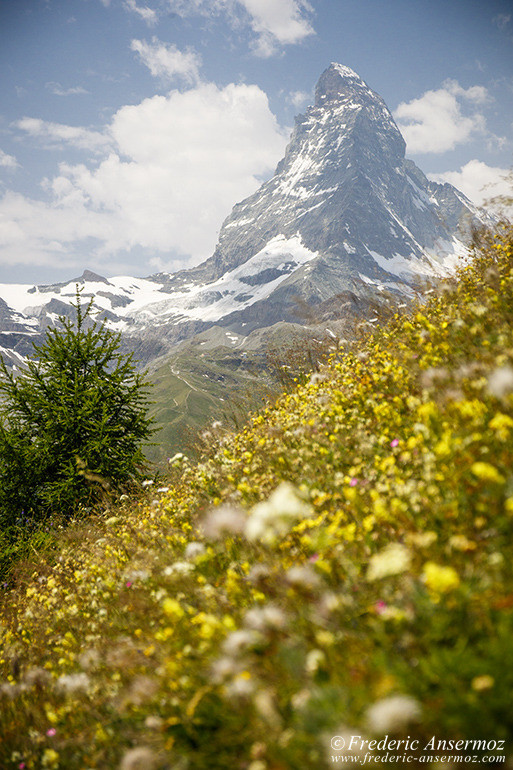
F4, 1/2500 sec, 53 mm, ISO250, Canon EOS 7D Mark II
Not only because of its technical difficulty, but also because of the fear it inspired in early mountaineers, the Matterhorn was one of the last of the main Alpine mountains to be ascended. The first serious attempts were all done from the Italian side.
After several attempts, the first ascent was realized, on July 14, 1865.
Guided by the French mountaineer Michel Croz, the Swiss guides father and son Peter Taugwalder Sr. and Jr., Edward Whymper accompanied by Charles Hudson, Lord Francis Douglas, and Douglas Robert Hadow, reached the summit, by an ascent of the Hörnli ridge in Switzerland.
But this incredible feat ended disastrously when four of them died on the descent, marking the end of the golden age of alpinism.
About more than alpinists have died on the Matterhorn since the first climb, making it one of the deadliest peaks in the Alps.
The north face was not climbed until 1931. and the west face (the highest of the four), was completely climbed in 1962.
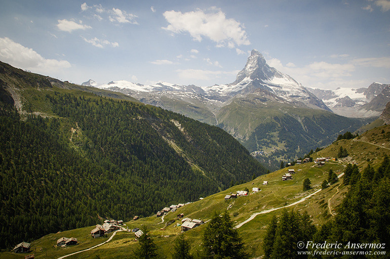
F13, 1/200 sec, 17 mm, ISO250, Canon EOS 7D Mark II
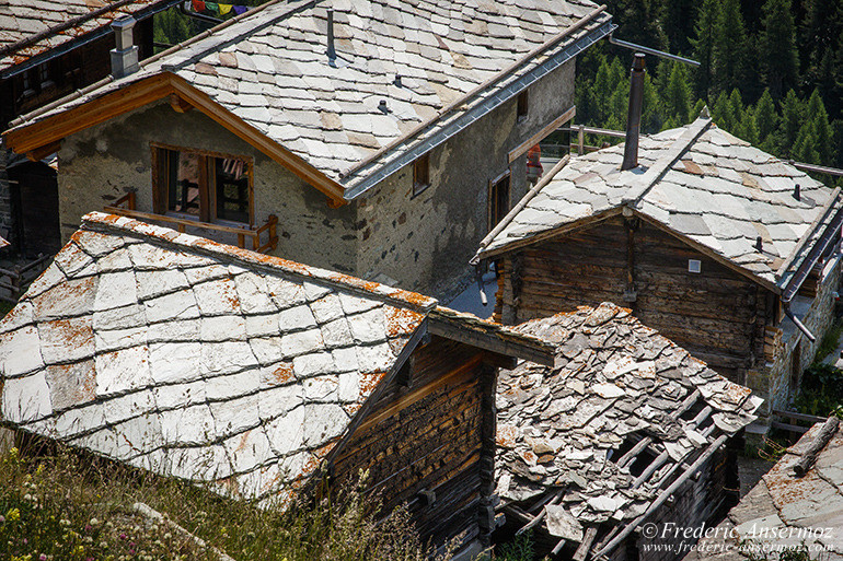
F13, 1/160 sec, 70 mm, ISO250, Canon EOS 7D Mark II
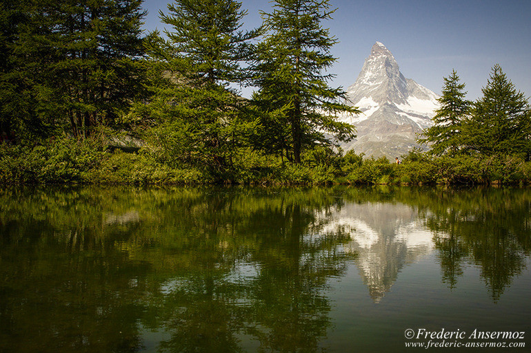
F13, 1/130 sec, 28 mm, ISO100, Canon EOS 7D Mark II
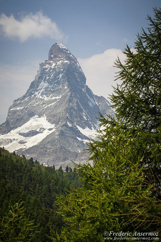
F9, 1/800 sec, 75 mm, ISO250, Canon EOS 7D Mark II
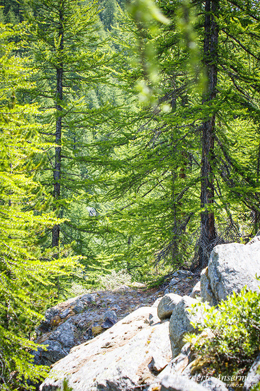
F5, 1/400 sec, 63 mm, ISO250, Canon EOS 7D Mark II
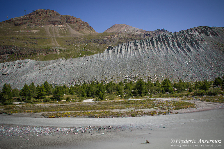
F8, 1/250 sec, 17 mm, ISO250, Canon EOS 7D Mark II
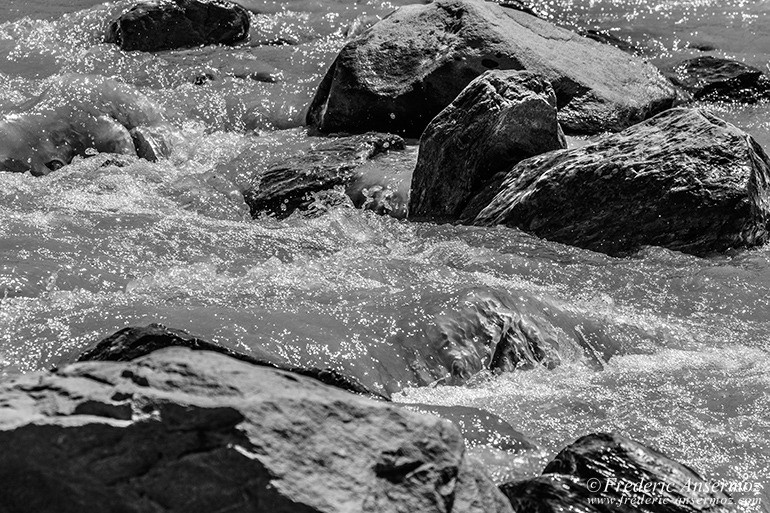
F8, 1/1000 sec, 203 mm, ISO250, Canon EOS 7D Mark II
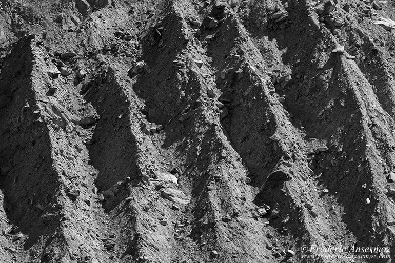
F8, 1/1000 sec, 203 mm, ISO250, Canon EOS 7D Mark II
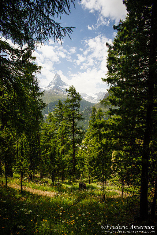
F11, 1/800 sec, 10 mm, ISO250, Canon EOS 7D Mark II
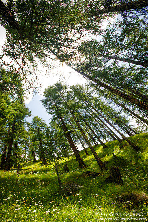
F11, 1/500 sec, 10 mm, ISO320, Canon EOS 7D Mark II
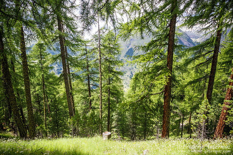
F11, 1/160 sec, 11 mm, ISO320, Canon EOS 7D Mark II
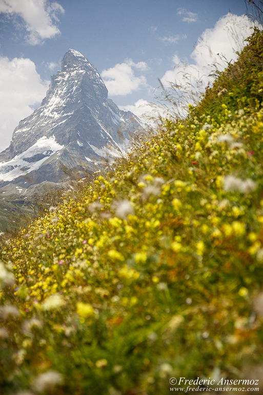
F4, 1/2500 sec, 53 mm, ISO250, Canon EOS 7D Mark II
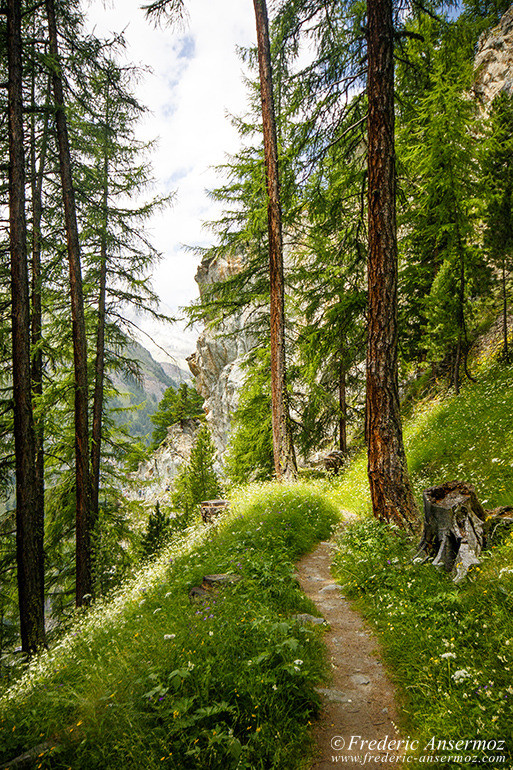
F10, 1/500 sec, 18 mm, ISO320, Canon EOS 7D Mark II
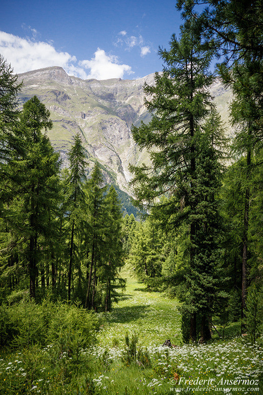
F10, 1/400 sec, 20 mm, ISO320, Canon EOS 7D Mark II
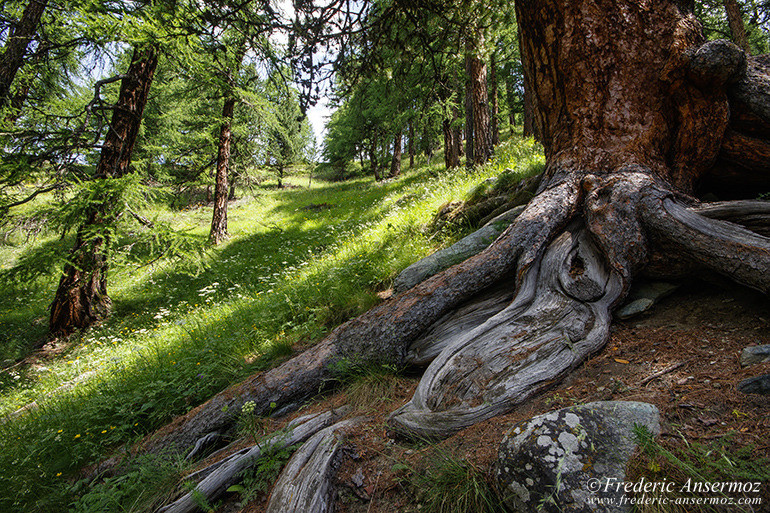
F11, 1/60 sec, 10 mm, ISO250, Canon EOS 7D Mark II
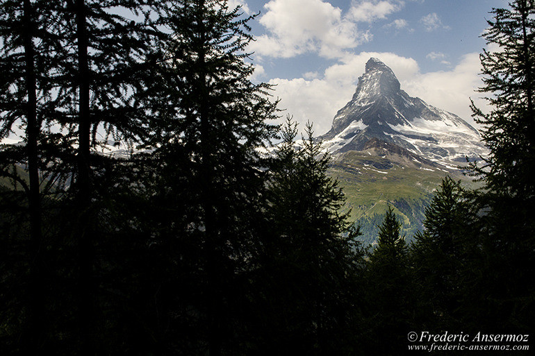
F11, 1/250 sec, 28 mm, ISO250, Canon EOS 7D Mark II
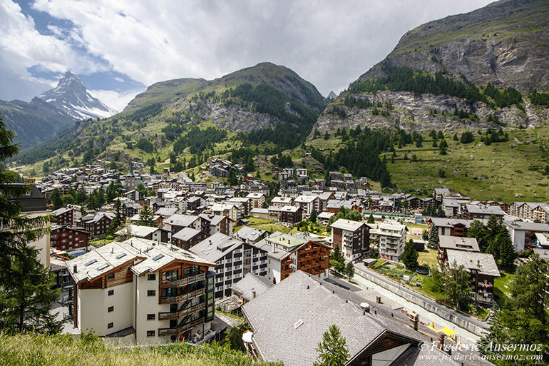
F10, 1/1250 sec, 10 mm, ISO800, Canon EOS 7D Mark II
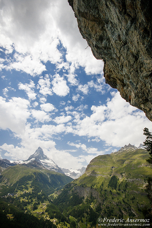
F10, 1/1250 sec, 10 mm, ISO320, Canon EOS 7D Mark II
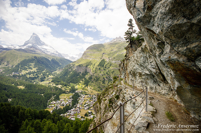
F10, 1/400 sec, 10 mm, ISO320, Canon EOS 7D Mark II
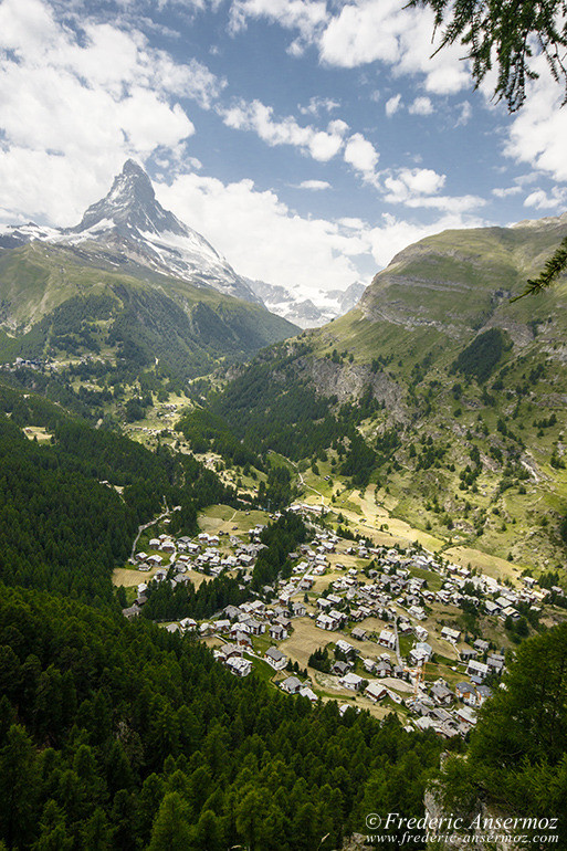
F10, 1/1250 sec, 14 mm, ISO320, Canon EOS 7D Mark II
In 1792, the Genevan geologist and explorer , Horace-Bénédict de Saussure, became the first one to study the Matterhorn, and was then followed by many others.
The Matterhorn overlooks the Italian town of Breuil-Cervinia in the Aosta Valley, and the Swiss town of Zermatt in the canton of Valais.
The entire town of Zermatt is a combustion-engine car-free zone and can be reached by train only, to prevent air pollution.
Zermatt is a starting point for hikes into the mountains, including the Patrouille des Glaciers, and the Haute Route that leads to Chamonix in France. Cable cars and chair lifts carry skiers in the winter and hikers in the summer
The Gornergratbahn, a spectacular rack railway line and the highest open-air railway in Europe, runs up to the summit of the Gornergrat at 3,089 m (10,134 ft).
Until the mid-19th century, Zermatt was predominantly an agricultural community; the rush on the mountains surrounding the village, and leading to the construction of many tourist facilities, followed the first and tragic ascent of the Matterhorn in 1865.
Zermatt, surrounded by a range of fabulous mountains, is famed as a mountaineering and ski resort of the Swiss Alps.
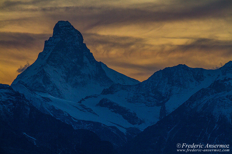
F9, 1/80 sec, 373 mm, ISO400, Canon EOS 7D
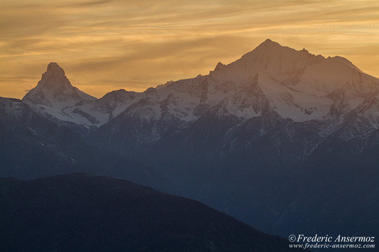
F13, 1/60 sec, 138 mm, ISO200, Canon EOS 7D
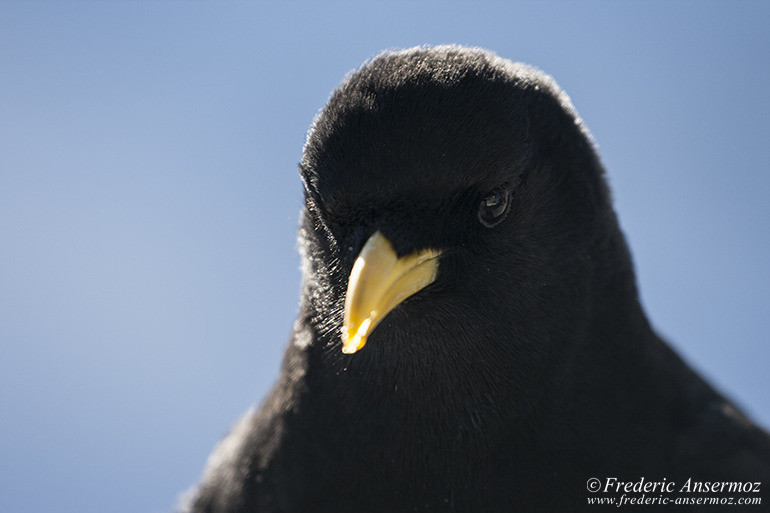
F8, 1/200 sec, 200 mm, ISO100, Canon EOS 400D DIGITAL
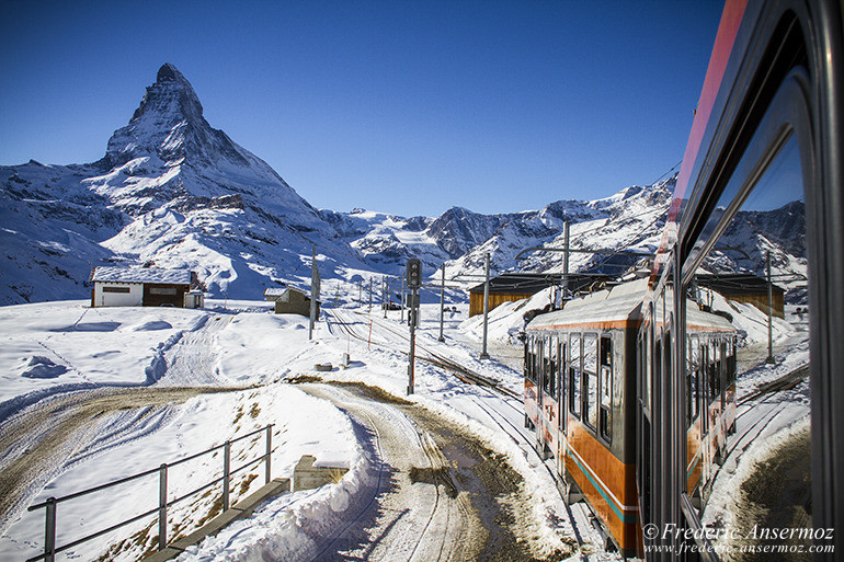
F9, 1/250 sec, 22 mm, ISO125, Canon EOS 7D
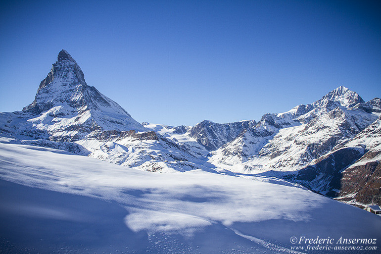
F9, 1/250 sec, 27 mm, ISO125, Canon EOS 7D
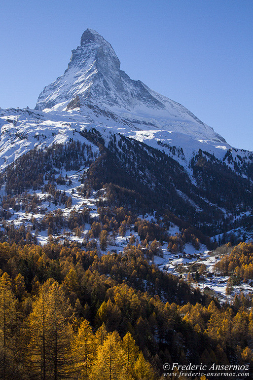
F13, 1/250 sec, 39 mm, ISO100, Canon EOS 7D
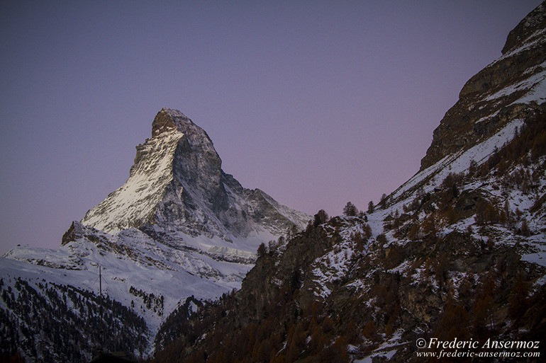
F13, 1/0 sec, 55 mm, ISO250, Canon EOS 7D
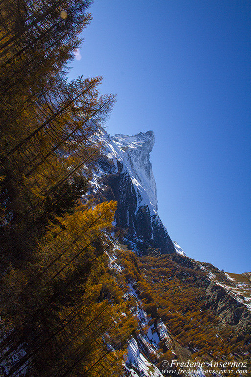
F13, 1/250 sec, 18 mm, ISO100, Canon EOS 7D
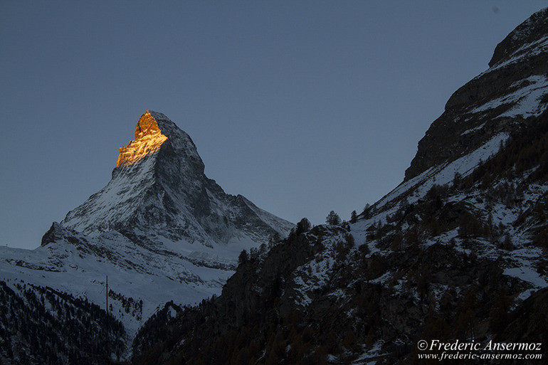
F13, 1/20 sec, 55 mm, ISO100, Canon EOS 7D
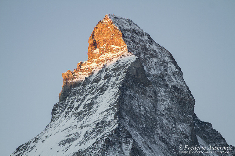
F13, 1/50 sec, 200 mm, ISO100, Canon EOS 7D
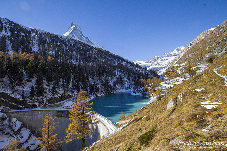
F13, 1/500 sec, 12 mm, ISO200, Canon EOS 7D
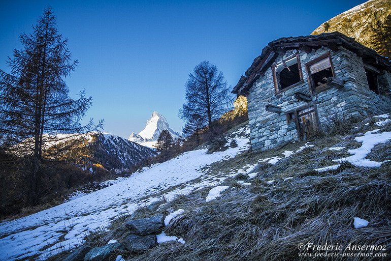
F13, 1/30 sec, 16 mm, ISO160, Canon EOS 7D
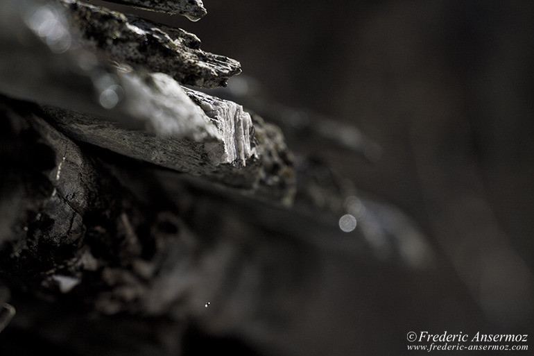
F6.3, 1/2500 sec, 244 mm, ISO200, Canon EOS 7D
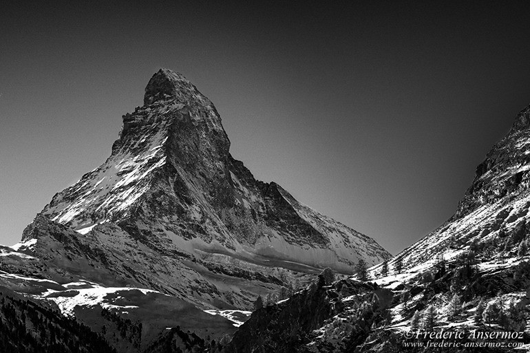
F13, 1/800 sec, 70 mm, ISO100, Canon EOS 400D DIGITAL
For all the chocolate fans, the Matterhorn is also the mountain on the Toblerone bar.
Many visitors are attended to Zermatt in 2015, and many events and festivities will be held throughout the year, to celebrate the 150th anniversary of the first ascent.
I hope that you liked my pictures of Zermatt and the Matterhorn, in Switzerland, and maybe they will motivate you to come to visit, explore and enjoy this beautiful area in the heart of the Alps.
Take a stroll, take some pictures, and stay safe while hiking into the mountains.
